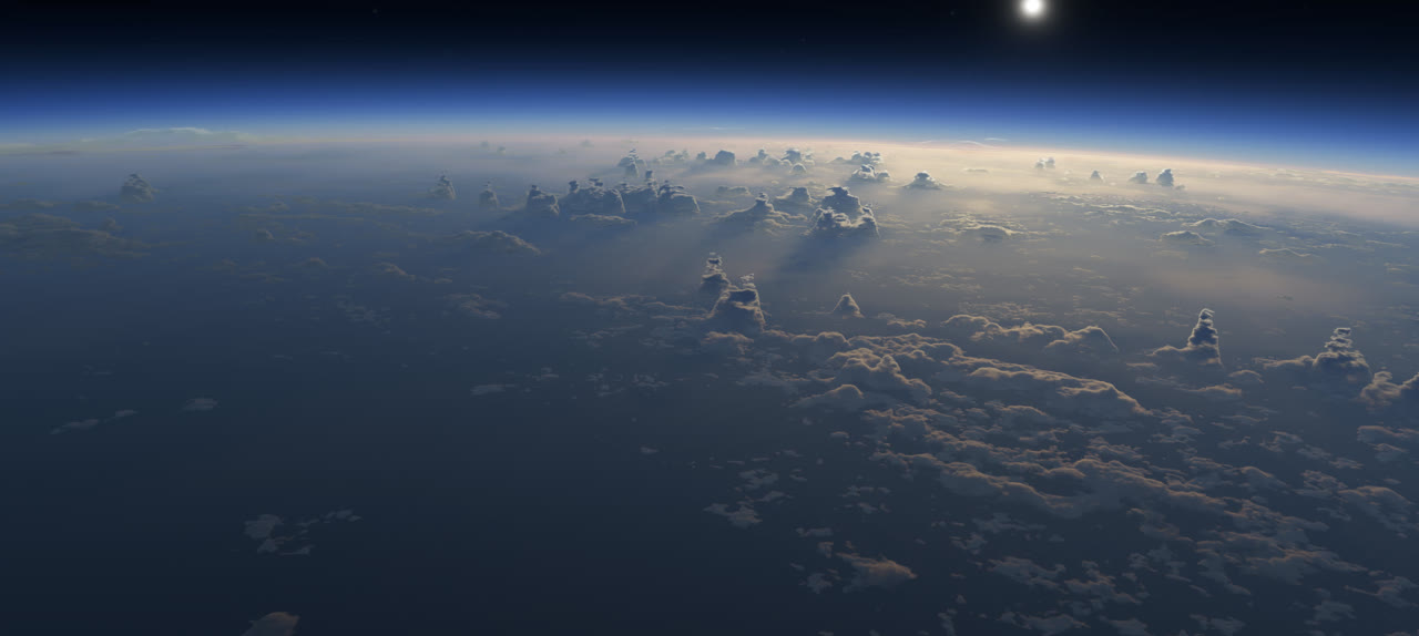
Shapethefuture
Build the next generation of software for the physical world.
Foresight Spatial Labs builds technology for working with complex spatial data and physical systems at scale. From geospatial data, LiDAR, and massive 3D datasets to multiphysics simulation, computational geometry, and rendering, we give teams the foundations to build powerful tools from prototype to production.
We build software across the full stack, from computational geometry and 3D rendering to simulation, backend infrastructure, and user-facing applications. Our work includes multiphysics simulation over large volumetric datasets, geospatial systems, point clouds and LiDAR, solid geometry, and high-performance spatial computing.
We build the systems around that technology too: orchestrating simulation workers across customer infrastructure, building backends that manage digital twins over years of changes, and creating the frontend applications people use to work with them.
For teams with ambitious or specialized requirements, we can bring this technology into your development organization. License our technology and build from source within your existing engineering workflows, or work with us to build custom applications and systems using the same technology behind SpatialEngine and SpatialDrive.
Foresight Spatial Labs is a Canadian company, founded in 2021, with a fully distributed team working around the globe. We bring together people with backgrounds in software and computer engineering, mechanical and mining engineering, mathematics, and physics.
We build technology for understanding and interacting with the physical world. That means working across disciplines and across the stack, from the mathematical foundations of geometry and physics to the software, rendering, infrastructure, and applications that bring them together.
















Contact
Building something difficult?
Tell us what you're working on. We work with teams tackling everything from geospatial systems and massive spatial data to complex simulation and 3D applications. If your problem doesn't fit neatly into a category, we'd still like to hear about it.